 27°C
27°C
Satellite Technology Is Transforming Marine Conservation Across Latin America
Satellite monitoring and vessel tracking are giving governments unprecedented visibility into fishing activity, helping protect marine ecosystems, improve fisheries management, and strengthen conservation efforts across the Eastern Tropical Pacific.


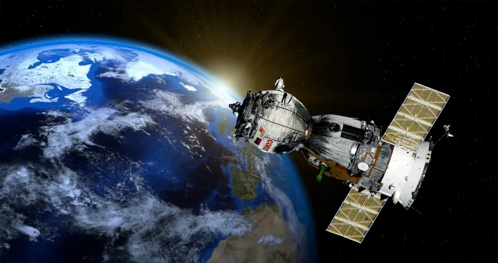
Advances in satellite technology and the growing willingness of governments to share fishing vessel tracking data are reshaping the way oceans are managed. By combining satellite imagery with positioning information from industrial fishing fleets, organizations and public authorities now have what experts describe as “eyes on the sea,” allowing them to monitor human activity across national waters and the high seas with far greater accuracy.
One of the leading initiatives behind this transformation is Global Fishing Watch, an international nonprofit organization that integrates publicly available satellite information with vessel tracking data provided by participating countries. The result is an interactive platform that maps commercial fishing activity in near real time, helping researchers and policymakers identify patterns, assess risks, and support evidence-based marine conservation.
Eastern Tropical Pacific Becomes a Model for Regional Cooperation
The Eastern Tropical Pacific (ETP) has emerged as a leading example of international collaboration in ocean conservation. Costa Rica, Ecuador, Panama, and Colombia are working together to protect a marine corridor that connects some of the region’s most important protected areas, including Cocos Island, the Galápagos Islands, Coiba Island, and Malpelo Island.
These marine sanctuaries provide critical habitat for migratory species such as whales, sea turtles, sharks, and tuna. Until recently, however, fishing activity across much of this vast ocean region remained largely invisible to authorities.
Technology Provides a Clearer Picture of Ocean Activity
According to Mónica Espinoza, Global Fishing Watch’s Latin America Program Lead, satellite technology combined with vessel monitoring systems has fundamentally changed how governments and conservation organizations understand what is happening at sea.
The platform uses data from the Automatic Identification System (AIS), which commercial vessels operate primarily to prevent collisions, alongside Vessel Monitoring System (VMS) data shared by national authorities and satellite imagery. Together, these data sources allow analysts to monitor vessel movements, evaluate fishing pressure, and better understand human activity in marine ecosystems.
Beyond tracking fishing fleets, the information can also be linked to environmental variables such as sea surface temperatures, ocean nutrient distribution, and climate events like El Niño, providing scientists with valuable insights into species migration patterns and ecosystem dynamics.
Greater Transparency Supports Better Fisheries Management
Several Latin American countries, including Costa Rica, Panama, Ecuador, Chile, and Peru, have already begun sharing vessel tracking information as part of broader efforts to improve transparency in fisheries management. Global Fishing Watch hopes Colombia will soon join this regional initiative, further strengthening conservation across the Eastern Tropical Pacific.
According to Espinoza, making fishing activity visible enables governments to base management decisions on reliable data while improving oversight of protected marine areas and exclusive economic zones.
Protecting Marine Protected Areas
The technology has already demonstrated measurable conservation benefits. Around Costa Rica’s Cocos Island, satellite monitoring helped authorities evaluate the effectiveness of an expanded marine protected area, showing that fishing activity declined by approximately 98% within the protected zone over recent years.
These monitoring tools also assist governments in enforcing environmental regulations. In Panama, authorities requested an independent analysis from Global Fishing Watch after detecting vessels operating in prohibited fishing areas, using the organization’s data to support enforcement decisions before imposing sanctions.
Supporting Sustainable Ocean Resources
Carlos Chacón, Global Fishing Watch’s Senior Program Manager for Latin America, said understanding what occurs across the oceans is essential for maintaining healthy marine ecosystems while supporting the communities that depend on fishing for their livelihoods.
By combining advanced technology with greater international cooperation and data transparency, governments are gaining stronger tools to balance conservation with sustainable economic activity. As more countries participate in information sharing, initiatives like Global Fishing Watch are expected to play an increasingly important role in protecting marine biodiversity and ensuring the long-term health of ocean resources.